Wind Chill Calculator
This calculator estimates the temperature felt by the body as a result of wind speed and actual air temperature. The calculator works for air temperatures between -50°F and 50°F.
Wind Chill Calculator
The Wind Chill Calculator estimates how cold it feels outside when wind speed is combined with air temperature. It shows the “feels like” temperature on exposed skin, which is usually lower than the actual air temperature.
What is Wind Chill?
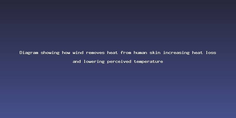
Wind chill refers to the perceived decrease in air temperature felt by the human body due to wind. When wind increases, it removes the warm layer of air surrounding the skin, making it feel colder than the actual temperature.
- Measured for temperatures between -50°F and 50°F
- Depends on both air temperature and wind speed
- Important for cold weather safety planning
How Wind Chill Works
The body loses heat through convection, conduction, and radiation. Wind chill mainly affects convection, which is the movement of air that carries heat away from the body faster.
Wind Chill Formula
The National Weather Service (NWS) formula used in this calculator is:
Wind Chill = 35.74 + 0.6215×T − 35.75×V0.16 + 0.4275×T×V0.16
- T = Air temperature (°F)
- V = Wind speed (mph)
Calculator Example
| Field | Value |
|---|---|
| Wind Speed | 15 mph |
| Air Temperature | 10 °F |
Calculated Wind Chill: Feels much lower than actual temperature due to wind exposure
Why Wind Chill Matters
- Helps understand real cold-weather risk
- Important for outdoor workers and travelers
- Useful for winter sports planning
- Helps prevent cold-related injuries
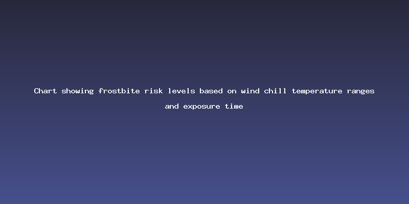
Frostbite Risk
Wind chill increases the risk of frostbite by accelerating heat loss from the skin. At very low wind chill values, exposed skin can freeze in minutes.
- Numbness and tingling are early signs
- Severe exposure may cause permanent tissue damage
- Hands, feet, and face are most vulnerable
Hypothermia Risk
Hypothermia occurs when the body loses heat faster than it can produce it, causing core temperature to drop dangerously low.
- Mild: shivering and discomfort
- Moderate: confusion and poor coordination
- Severe: loss of consciousness and life-threatening conditions
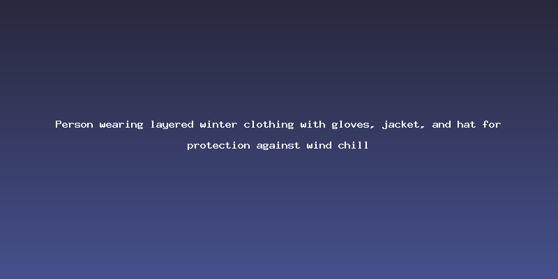
Safety Tips in Cold Weather
- Wear layered clothing (base, insulation, outer layer)
- Cover exposed skin like hands and face
- Avoid long exposure in extreme wind chill
- Stay dry to prevent heat loss
Wind Chill Safety Chart
| Temperature Range | Risk Level |
|---|---|
| 32°F to 15°F | Cold but manageable with proper clothing |
| 15°F to -15°F | Risk of hypothermia with prolonged exposure |
| -15°F to -50°F | High frostbite risk on exposed skin |
| -50°F to -75°F | Frostbite possible in minutes |
Frequently Asked Questions (FAQ)
Q1: What is wind chill?
A: It is how cold it feels when wind speed is combined with air temperature.
Q2: Does wind chill change actual temperature?
A: No, it only affects how cold it feels to the human body.
Q3: Why does wind make it feel colder?
A: Because it removes the warm air layer around the skin.
Q4: Is wind chill dangerous?
A: Yes, it can increase risk of frostbite and hypothermia.
Q5: What is the formula used?
A: The National Weather Service wind chill equation.
References
Wind Chill Diagram
Cold Weather Safety
Frostbite Risk Map